For my recent birthday, I told my family that I wanted to go hiking together. Charlotte, situated in the Piedmont area of North Carolina, is conveniently located less than 90 miles from the Appalachian Mountains. There are abundant hiking opportunities within an hour or two of Charlotte – from trails at the Whitewater Center to Crowders Mountain in Gaston County to endless hikes in the Blue Ridge Mountains. I expected us to pop over to one of the old standbys, but my husband surprised me by conferring with some coworkers who are avid hikers and planning a visit to South Mountains State Park.
I will admit that I had never heard of South Mountains State Park and I’m guessing most people in Charlotte have not either. It is truly a hidden gem. About an hour and 45 minutes north-west of Charlotte in Connelly Springs, it is not on the typical route from Charlotte to Asheville, and is therefore off the beaten path a little. But it is well worth breaking out of the norm and exploring this rugged mountain area.
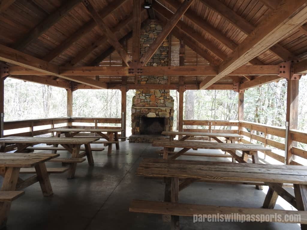
The Jacob’s Fork Parking Area is the main parking lot at South Mountains State Park. It is a decent size, although it was crowded and people had parked along the road when we were there. We circled once before finding a spot but there seemed to be decent turnover so spots opened up frequently. We got there close to lunch time and my husband had packed a picnic lunch for us. We didn’t have to look far to find a spot to eat – there is a huge covered picnic shelter right off the parking lot. I was immediately impressed with the facilities. The beautiful wooden shelter has 12 picnic tables, two grills, a gorgeous stone fireplace at the end, and a view of the creek below. It can accommodate up to 80 people but we had the whole place to ourselves for the majority of the time we were there. (Reservations can be made for the shelter if you want to be sure a large group or party can be accommodated.)
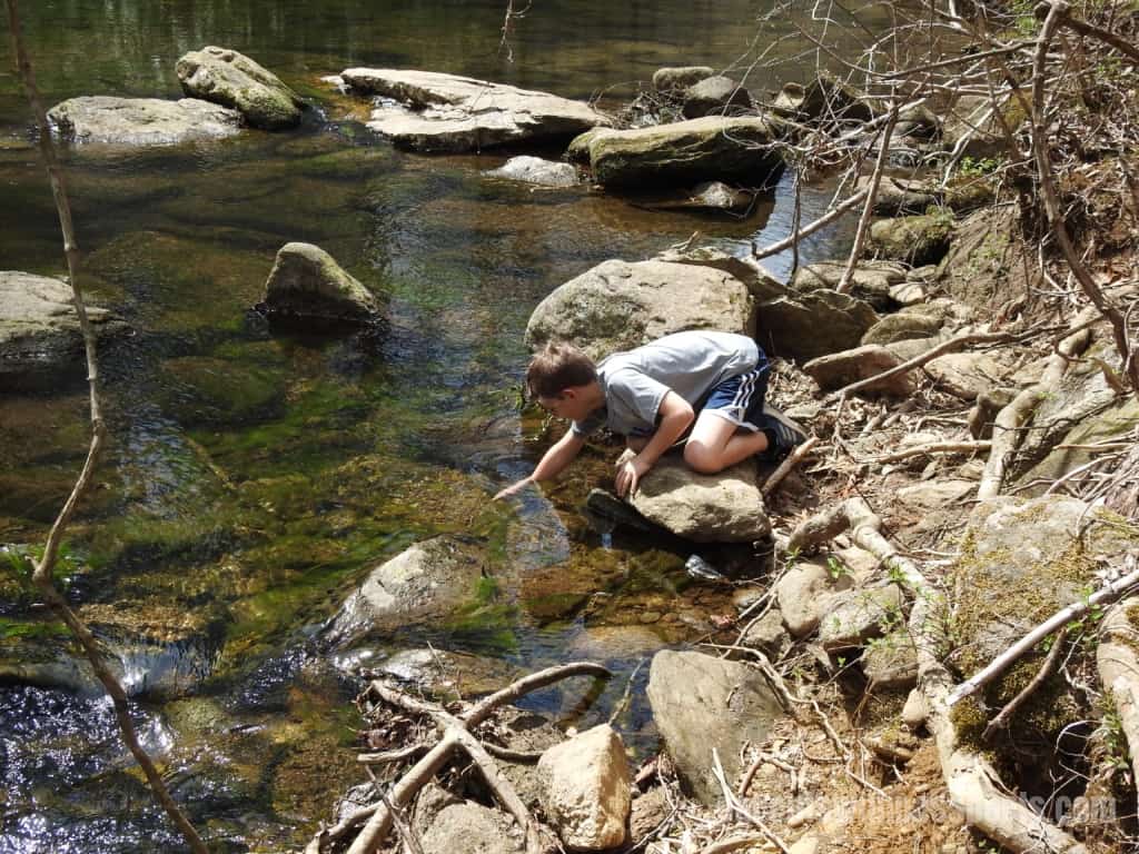
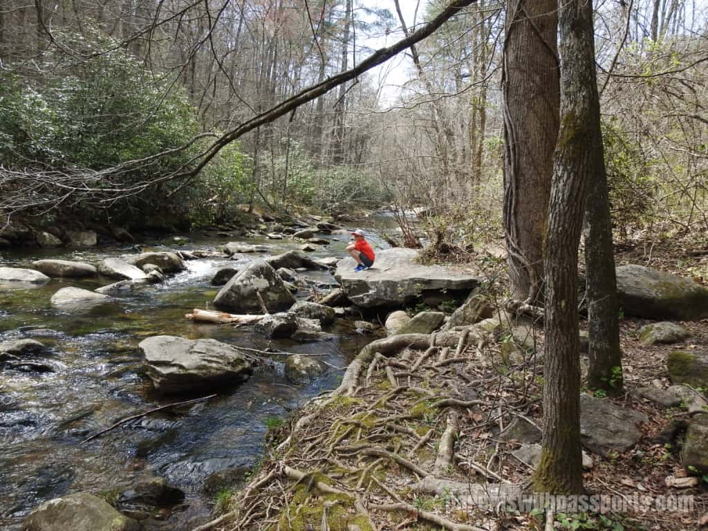
We ate at the covered tables and then the boys explored the creek below when we were done. There was easy access down to the water, where there were lots of opportunities to climb on rocks, walk across fallen trees, and try to catch fish with your hands. It was hard to pull them away to start our hike.
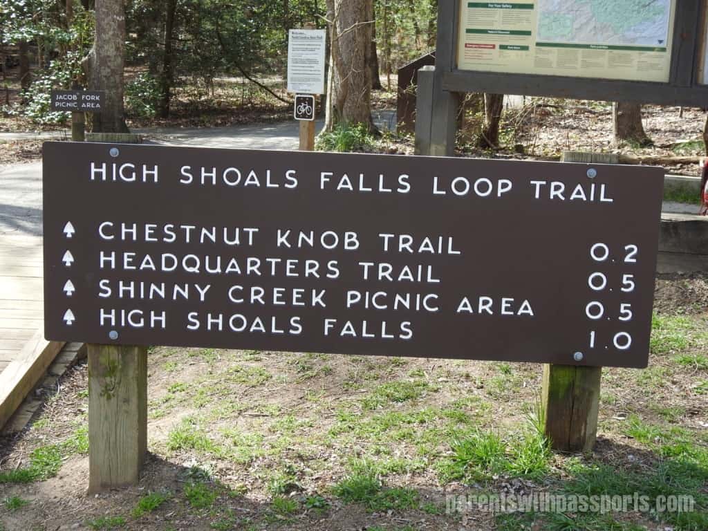
When we finally headed towards the trails, we passed both the bathroom and another picnic area. The Jacob Fork Picnic Area has 12 tables and 2 grills in a nice shady spot. From here you can head out on the High Shoals Fall Loop Trail. It is a mile to the falls itself, and from there you can turn back and retrace your steps for a 2 mile out and back hike or continue along the loop trail for a total of 2.7 miles.
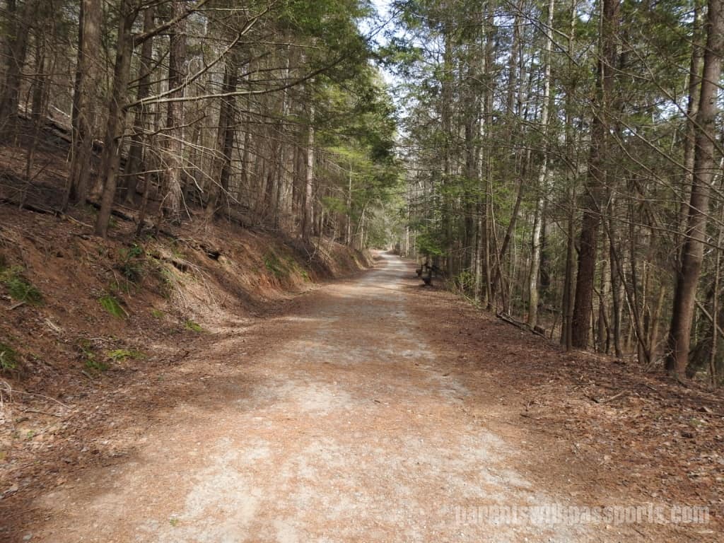
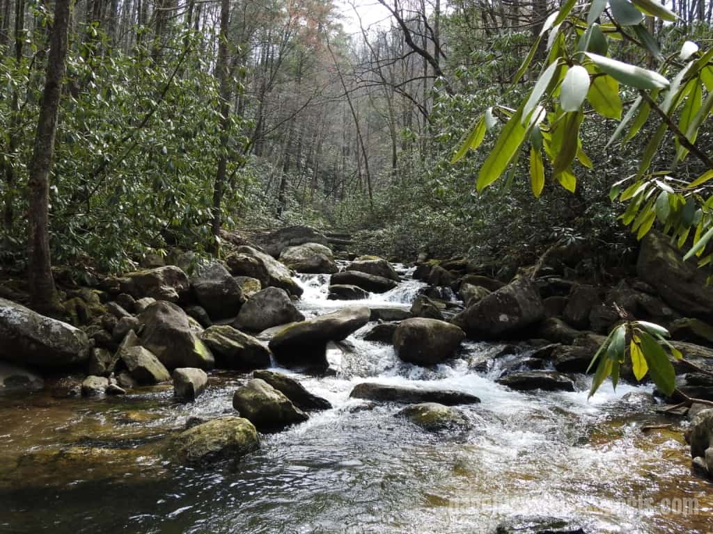
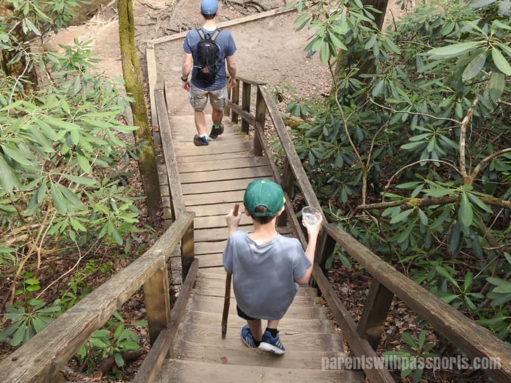
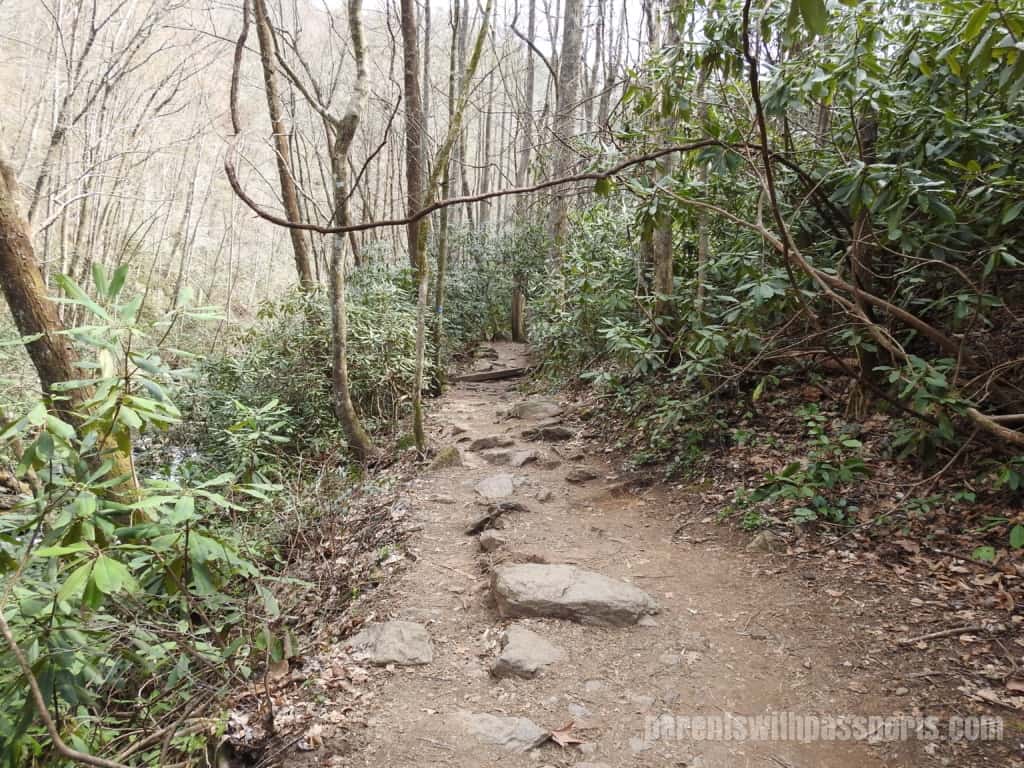
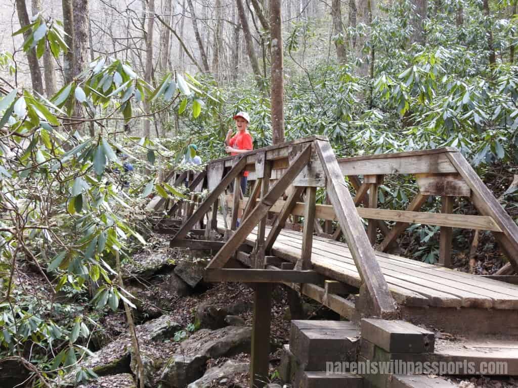
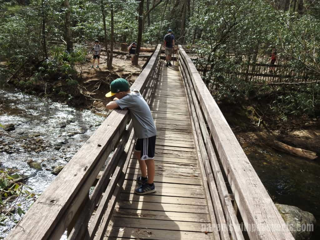
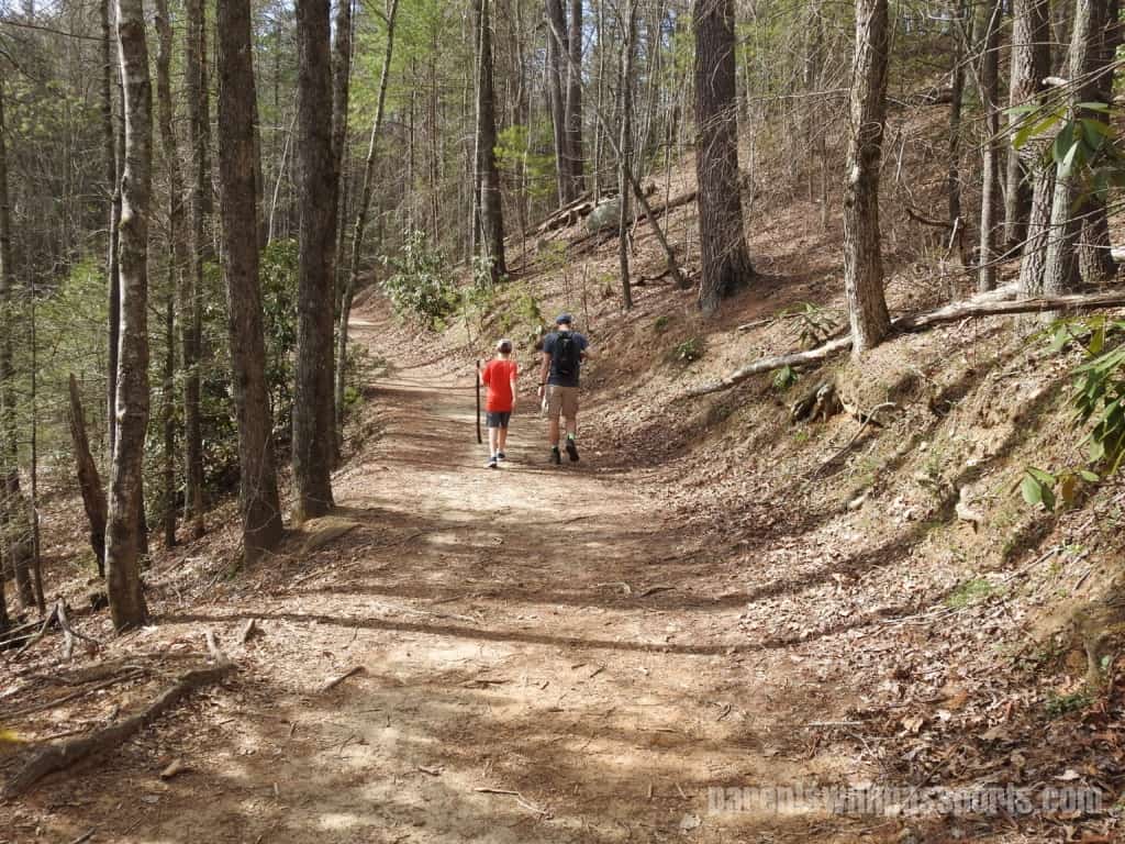
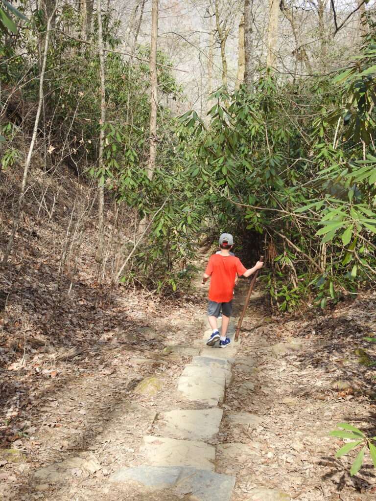
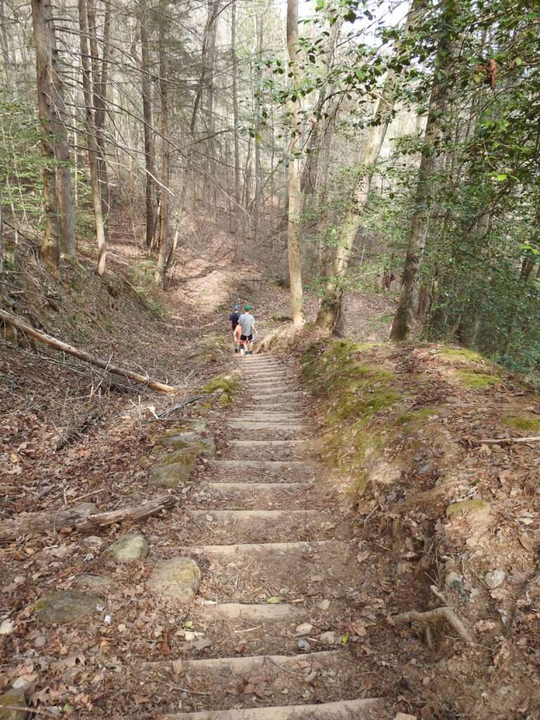
The start of the trail is hard packed dirt surrounded primarily by pine trees, with the creek running along the left hand side. You’ll soon cross over the creek on a low bridge and then meet a series of steps (both up and down) and bridges as you go back and forth over the creek and rocky areas. Both the trail and the creek get rockier as you get deeper into the woods.
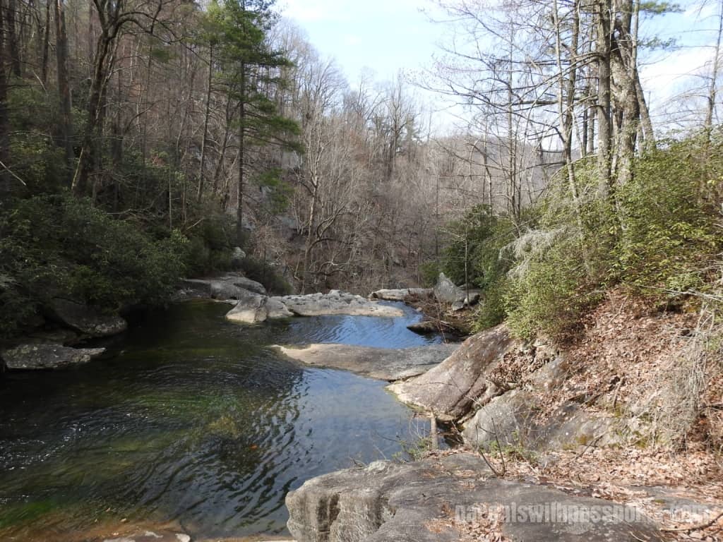
Soon you’ll start to see greater elevation changes along the trail and water making its way down among the rocks on the side of the path.
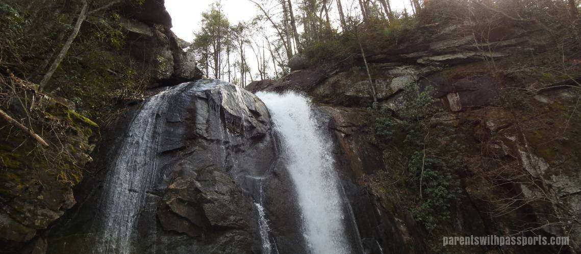
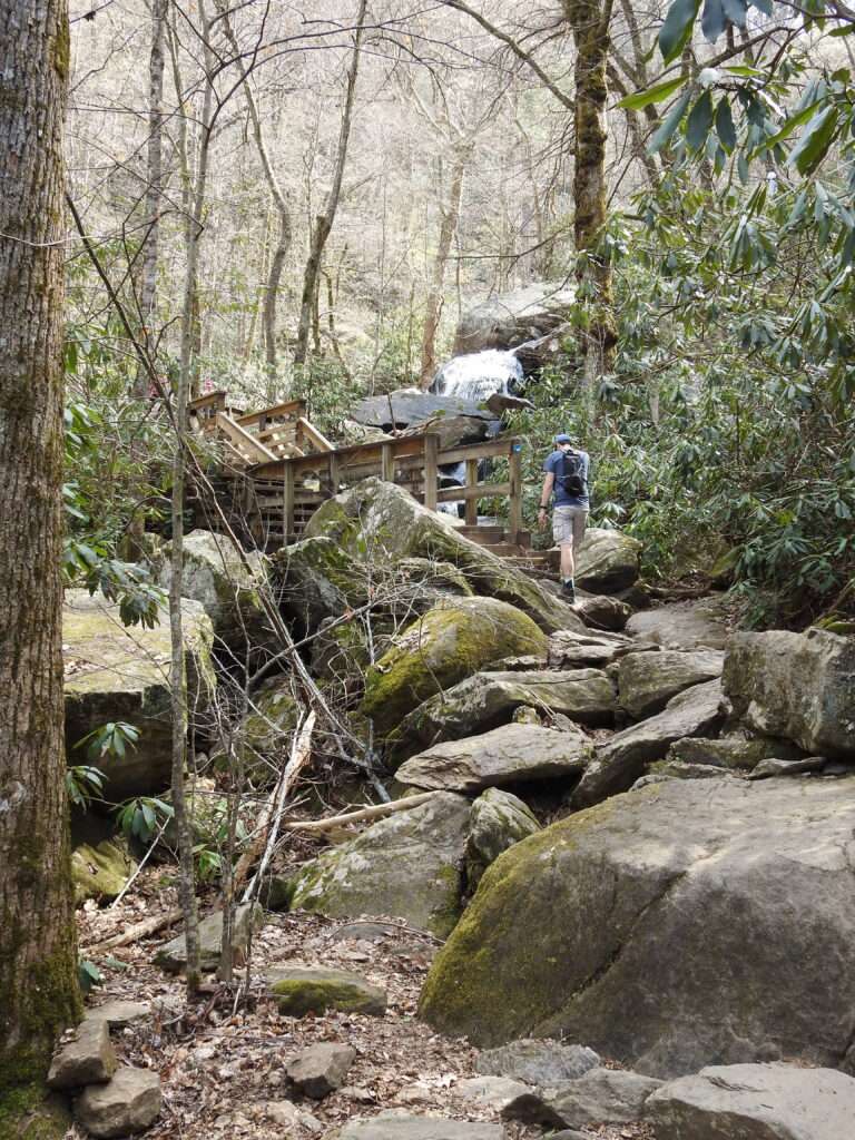
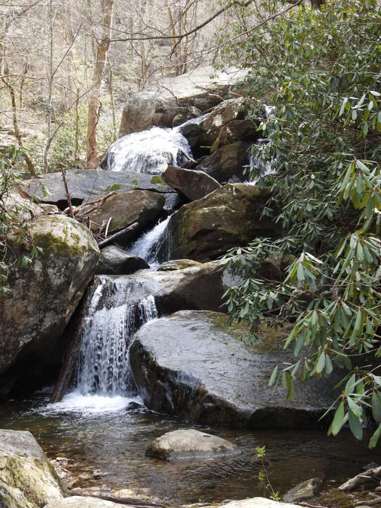
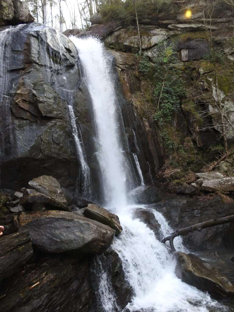
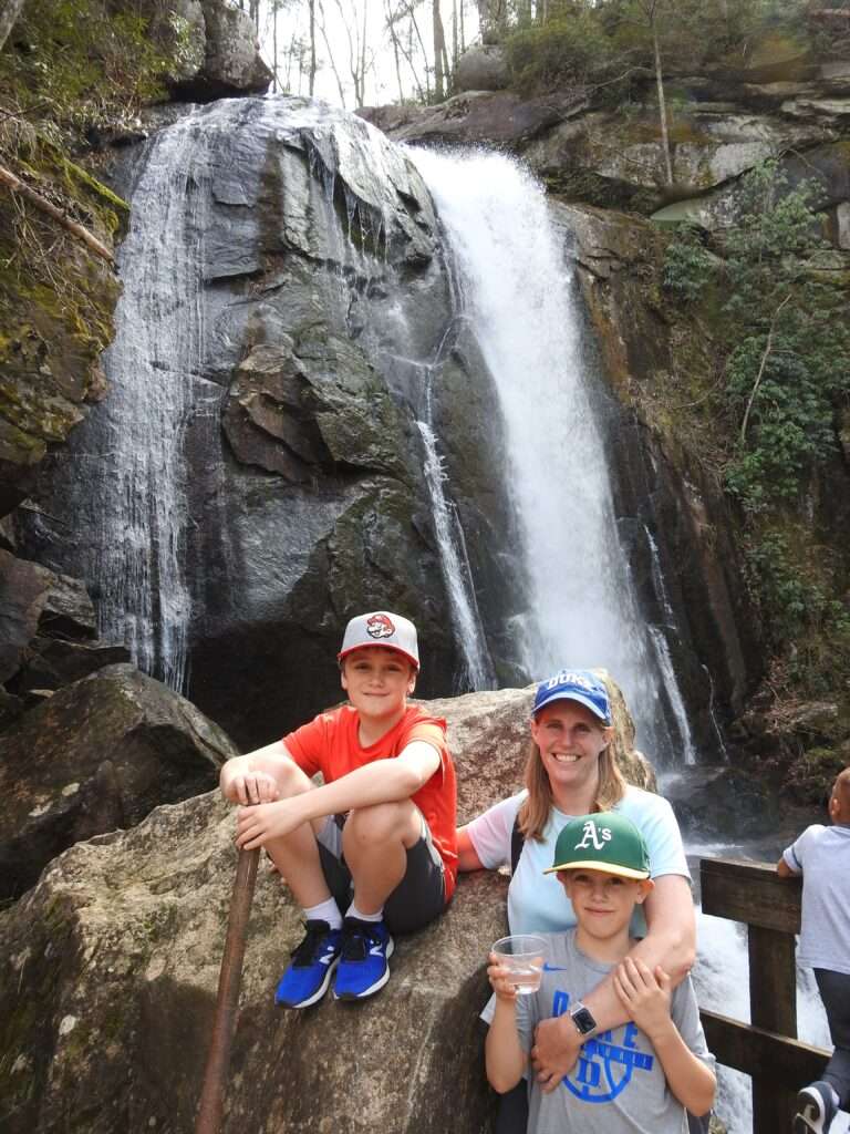
You’ll make one final push up a steep incline and then a lot of stairs bring you to a platform where you get a great view of the 80 foot waterfall. The water rushes down over a rocky cliff above you and then continues to flow down the rocks below. It is a beautiful spot to take in the sights and sounds of the waterfall.
The viewing platform was somewhat crowded and there was a steady stream of people making their way to the edge of the platform to get the best view (and pictures). From here, the huge majority of people made their way back down the way they came. The continuation of the loop trail was actually somewhat hidden and I suspect very few people even knew it was there. As you walk down from the viewing platform, if you bear to the right you will see some steep steps where the trail continues upwards. If you follow that, it will take you above the waterfall and back across the creek.
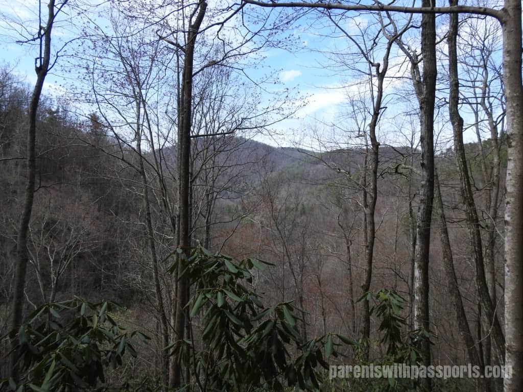
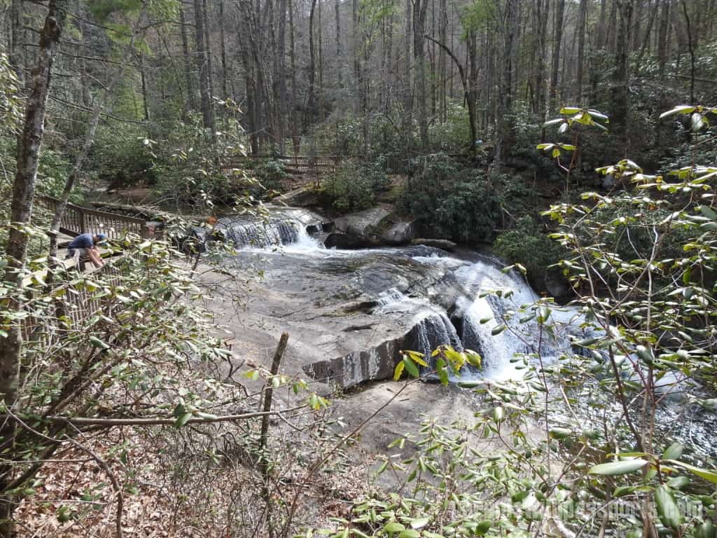
It is very peaceful above the falls. With no other hikers to speak of, we got to be alone with nature. There were beautiful mountains off in the distance, and water poured over rocks in the creek to make mini waterfalls. And you could see the eerily calm spot right at the edge of the falls before the water rushed over. We stood on the bridge that crossed the creek above the waterfall for a while and just listened to the rushing water and watched the different sections of the creek, marveling at how it could be calm in one spot and roaring a few feet away. It was definitely worth the extra effort (and steps) to get up there.
The trail looping back started out wide and gradually sloping but eventually got narrower and steeper. After all, what comes up must come down. The descent was a bit tough on the knees but absolutely worth the effort.
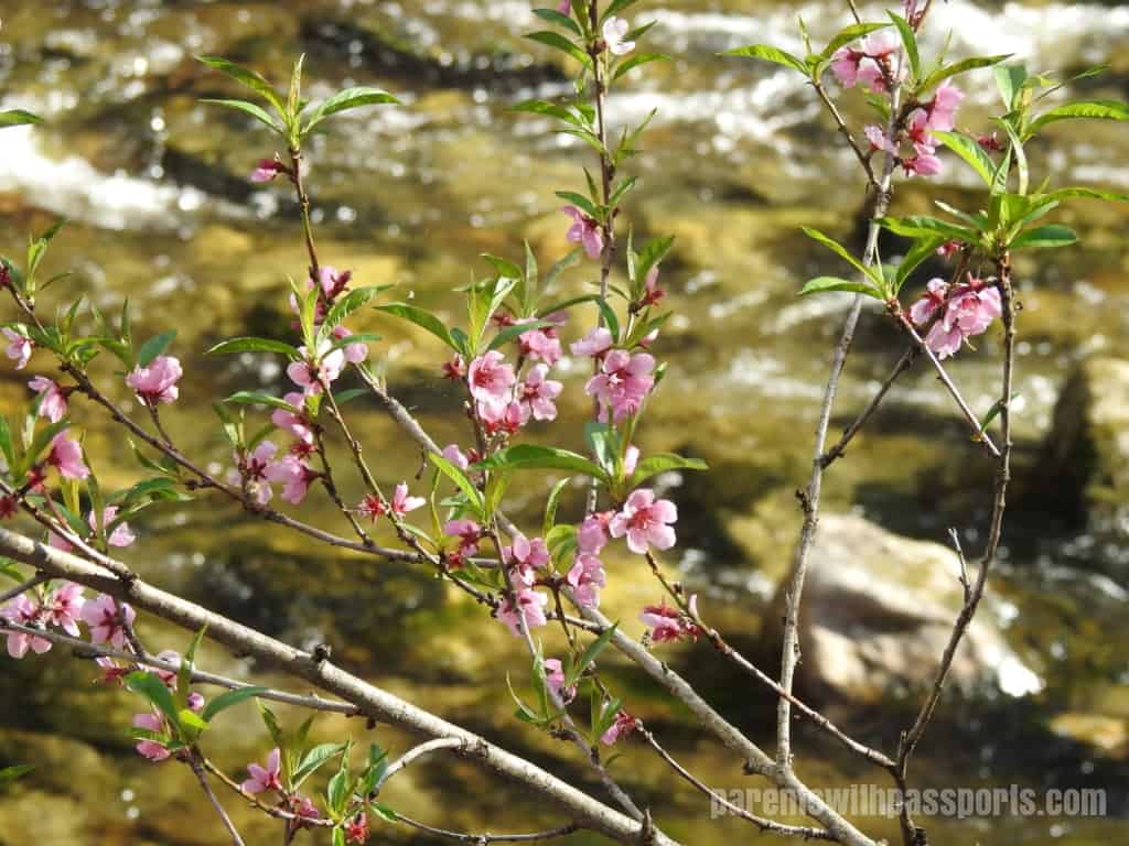
The backside of the loop veered away from the creek for a good while, but when we started to hear the waters flowing again we knew we were getting close to the bottom. We wound our way back down to the creek and as we headed back to the parking lot, we found a little nature trail that ran along the water. The Hemlock Nature Trail has information displays along the water’s edge, pointing out various flora, fauna, and points of geographical and historical interest. This trail is short (about 0.3 miles), flat and safe – perfect for toddlers who want to explore a little but can’t make it up to the waterfall. And as we wrapped up our hike, we spotted some early signs of spring along the creek’s edge. A perfect ending to a great outing.
The High Shoal Falls Loop Trail is rated as strenuous by NC Parks, and there are definitely parts that are tough. My kids (and my knees) handled it fine though. Just be prepared for lots of steps and some steep sections of trail and take your time on the ascent. Even in late March it was hot but the trail is almost all shaded, which kept it tolerable. Be sure to bring along plenty of water – and your camera. The scenery is beautiful.
