As someone passionate about travel, I follow a lot of different travel sites and am constantly reading “top 10” type lists for different travel categories. Harpers Ferry WV kept popping up on lists of prettiest towns in America. Upon further research, I was excited to find that it is located just off I-81 so would be a perfect stop on our road trip north.
Harpers Ferry sits at the junction of the Potomac and Shenandoah Rivers and borders the state lines of West Virginia, Virginia, and Maryland. Aside from the scenic location and picturesque town, it is also a National Historic Park. It sounded like a perfect stop for our family.
We arrived on a Saturday evening and stayed at a Hampton Inn in the neighboring town of Charles Town. Because it is a national historic site, there are only 2 hotels actually in Harpers Ferry, and they didn’t seem like anything to write home about. Charles Town was super close by, had a variety of hotels to choose from, and offered many different restaurant options as well. (It also has a casino but that didn’t really fit into our family-friendly trip planning.)
Again because the entire town is a national historic site, there is very limited parking and it is not very car-friendly in general. The best way to visit the town is to park at the Harpers Ferry NHP Visitor Center (171 Shoreline Drive) and take a shuttle bus to town. It costs $15 per vehicle to park but your pass is valid for 3 consecutive days and the shuttle is included.
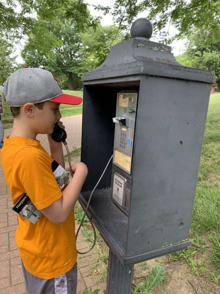
Before we even left the visitor center, the boys had their first historic sighting. A pay phone! I had to explain to them what this crazy device was.
We stopped briefly in the visitor center to get a map and some information and then hopped on the shuttle bus. The buses were large and clean, and they ran frequently. The 10 minute drive was scenic and informative, as an audio recording provided some information about the town.
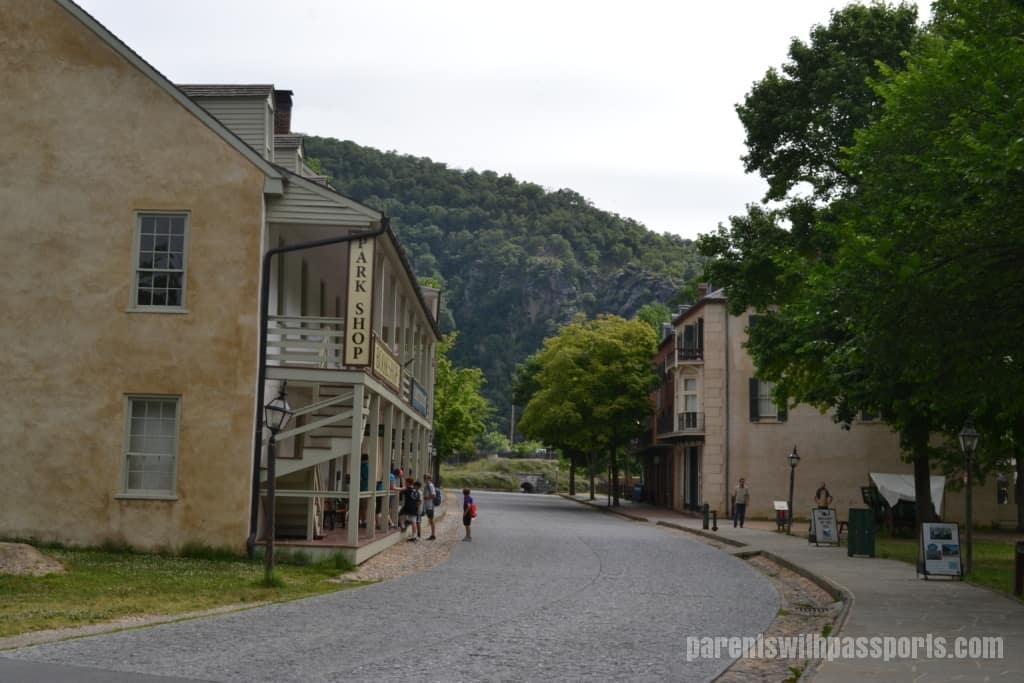
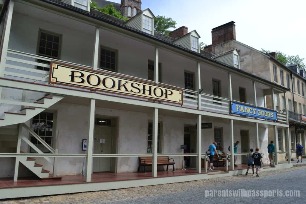
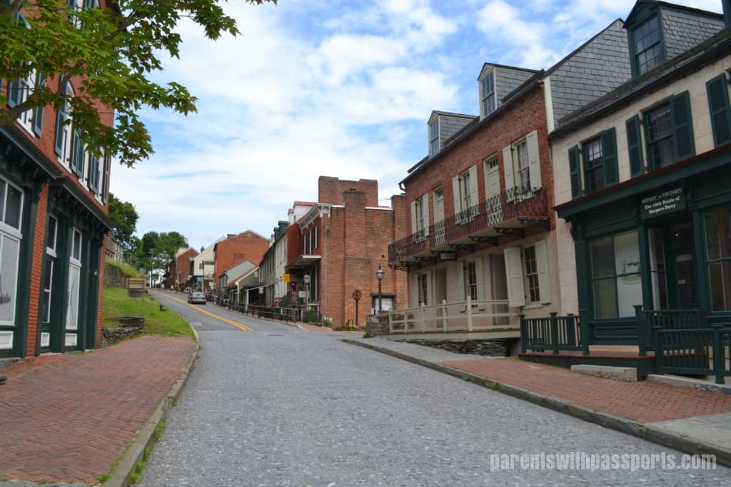
The bus dropped us off in the Lower Town. From the shuttle stop, we had a nice view of Shenandoah Street. My boys were intrigued by the “Fancy Goods” store and disappointed to find it is not a stand-alone store of all fancy goods but just a part of the National Park Bookshop. While the fancy goods may not have their own store, the bookshop had some neat things and was definitely worth a stop.
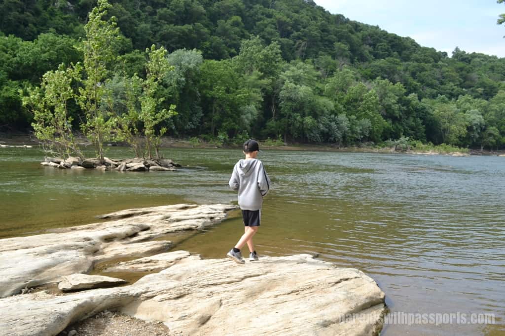
We walked down to the bank of the Shenandoah River, where we took in the views and skipped some stones.
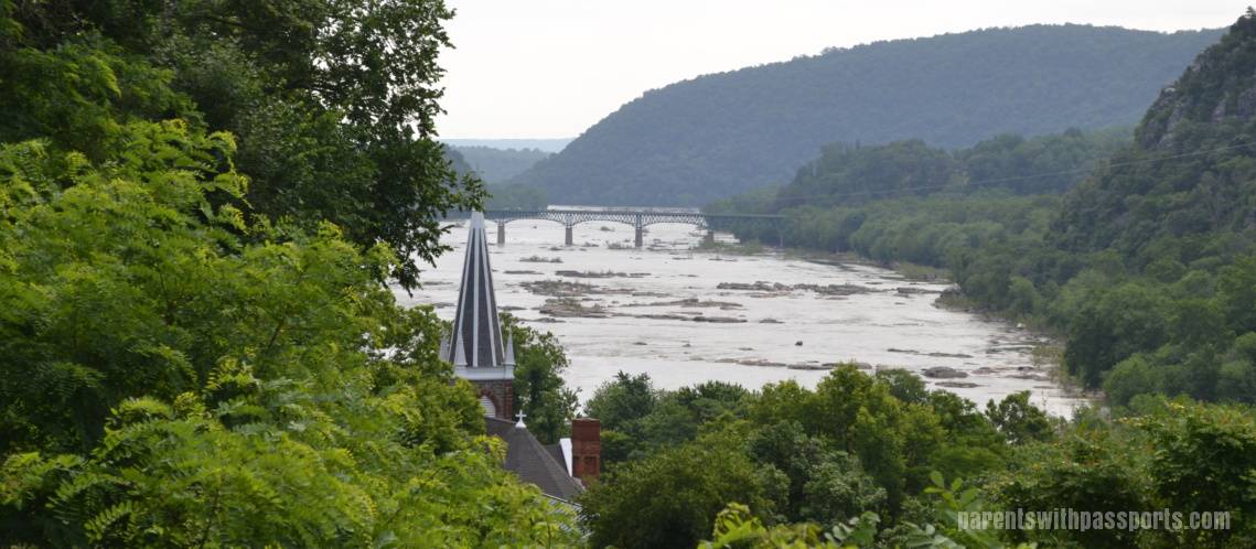
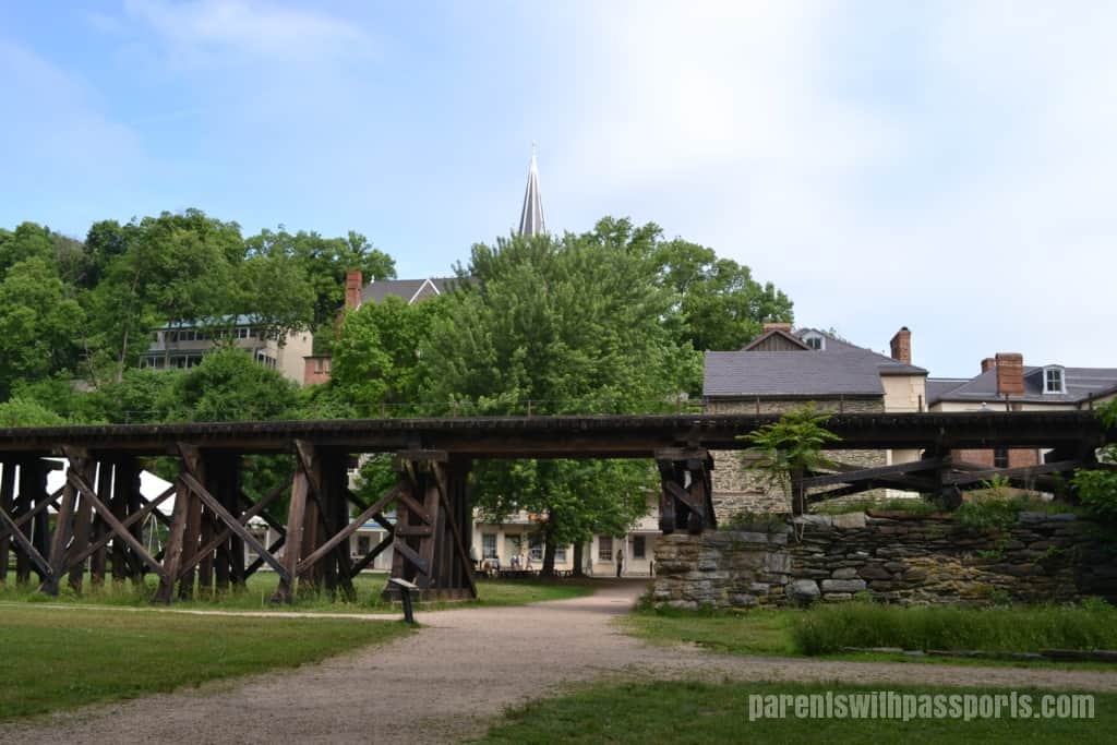
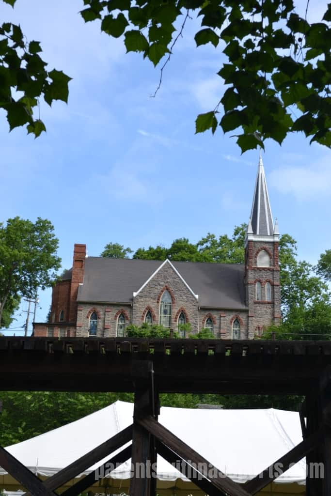
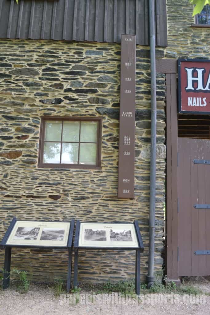
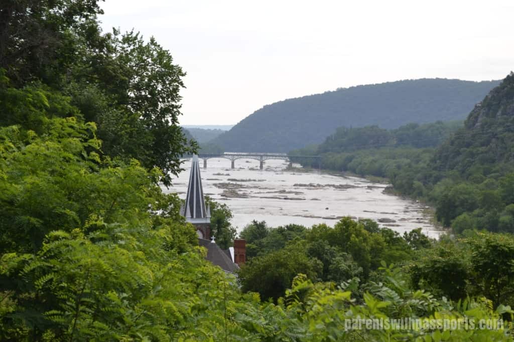
There was a pretty view of St. Peter’s Church, sitting high on the hill above town. And my boys were amazed at the measuring stick showing different flood levels along the Shenandoah over the years.
We walked down Shenandoah Street until the end and then turned left on High Street on our way to Jefferson Rock, a vantage point above the city. According to Jefferson’s Notes on the State of Virginia, Jefferson admired the view from this point on October 25, 1783 and declared, “The passage of the Patowmac through the Blue Ridge is perhaps one of the most stupendous scenes in Nature. You stand on a very high point of land. On your right comes up the Shenandoah, having ranged along the foot of the mountain a hundred miles to seek a vent. On your left approaches the Patowmac in quest of a passage also. In the moment of their junction they rush together against the mountain, rend it asunder and pass off to the sea.”
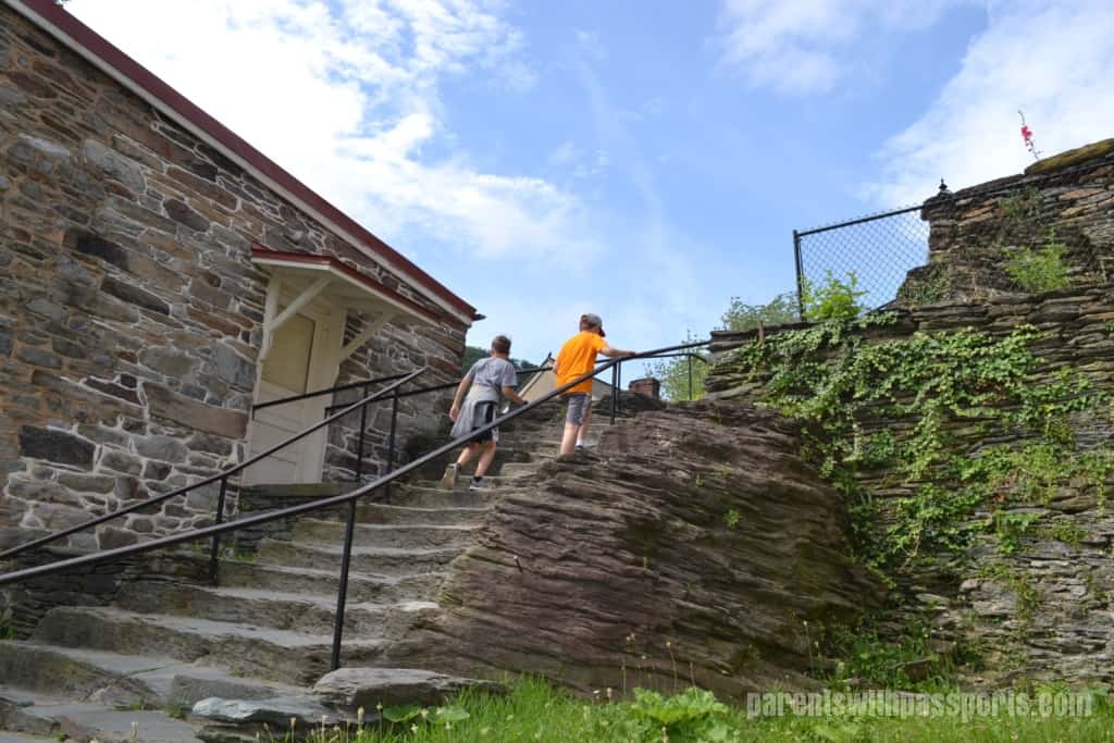
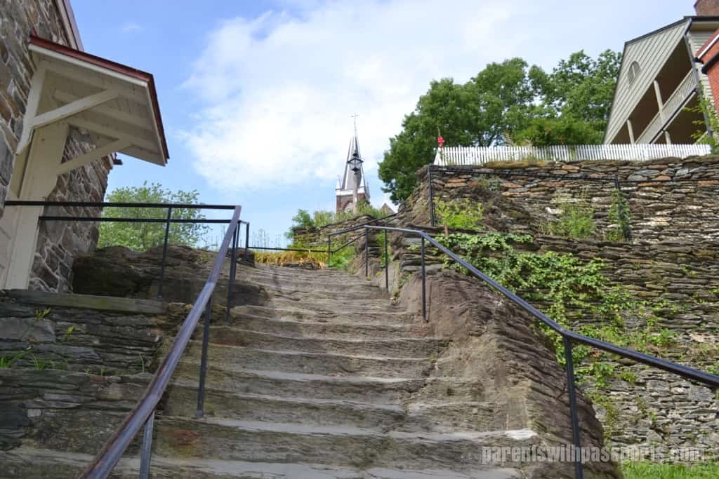
The walk up to the rock is a fairly challenging climb that is actually part of the Appalachian Trail. An innocuous but well-worn set of stone steps tucked away on the side of the road is part of the trail and leads you to Jefferson’s Rock. Although our distance travelled on the trail was short, it was neat to say we had been on the Appalachian Trail. A sign at the base of the steps identified landmarks you could reach along the trail in Harpers Ferry or challenged you to “keep walking 1,000 miles south to Springer Mountain, Georgia.”
There are a few scenic spots along the way. St. Peter’s Roman Catholic Church, which was visible from the streets below, is about a third of the way up the climb. The church was originally built in 1833 and survived the Civil War before being remodeled in 1896 to its current Neo-Gothic style.
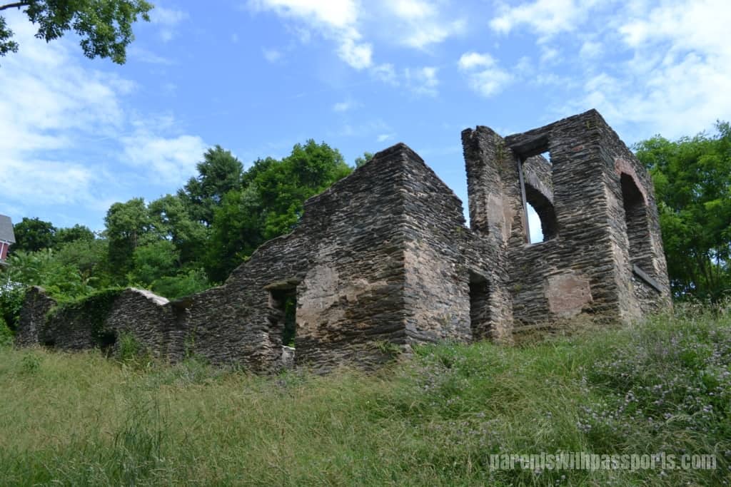
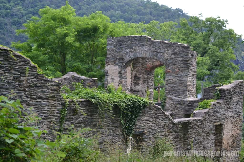
Located a little further up the hill, St. John’s Episcopal Church was not quite as lucky in the Civil War. The church suffered damage during the war and was later replaced by a new Episcopal church and abandoned. The ruins can be viewed from the trail.
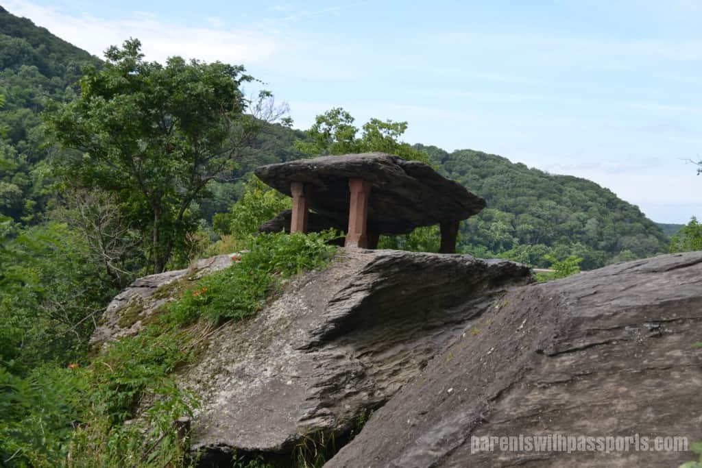
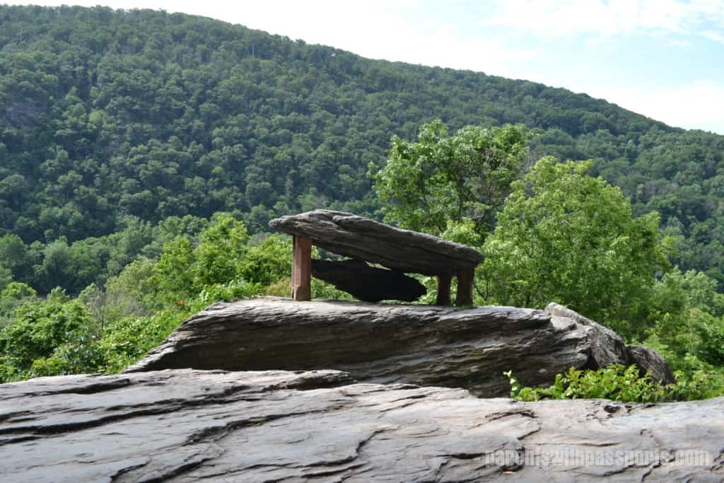
Just a bit further up the hill, Jefferson’s Rock comes into sight. The rock itself is made of multiple layers of shale stacked on top of each other. Over the years, the natural support of the uppermost rock began to weaken and four stone pillars were placed underneath it in the late 1850s to preserve this natural attraction. Despite the pillars, the rock is still unstable and climbing on it is not allowed.
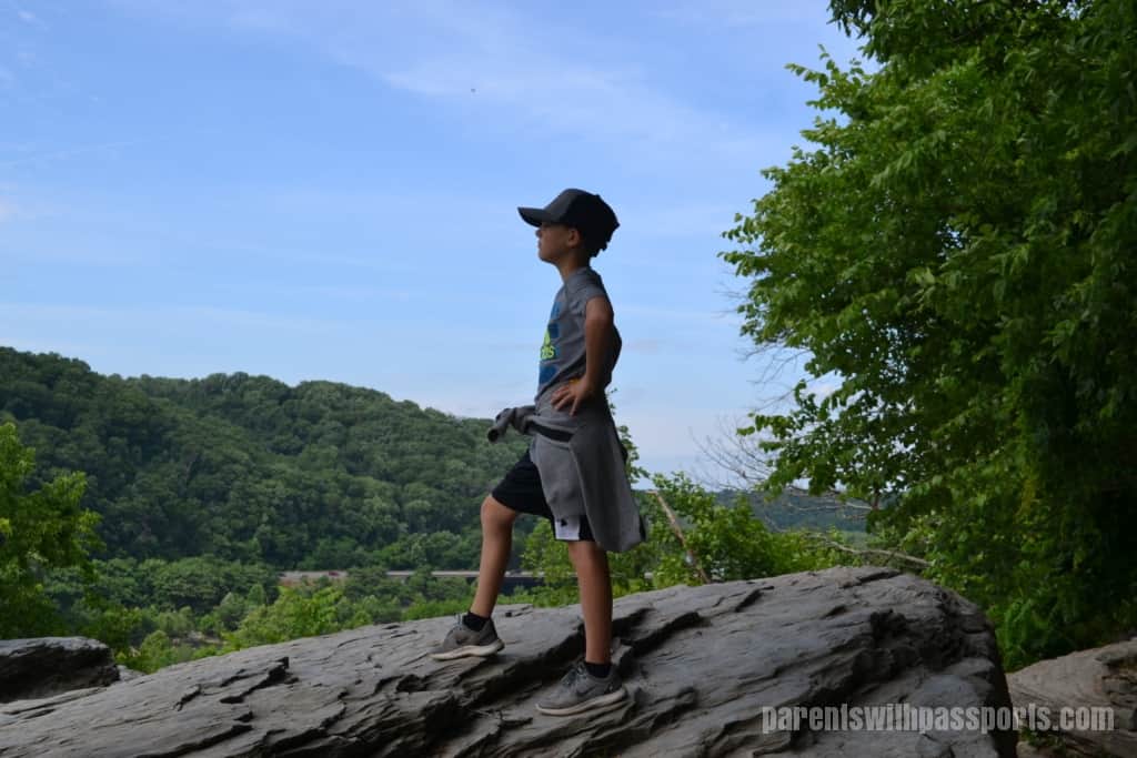
The trail continues off to the right but you can explore the area around the rock and take in the views that Jefferson claimed were “worth a voyage across the Atlantic.”
We walked back down to the Lower Town and explored High Street. High Street is a mix of historic sites and current shops. We walked up the hill and popped into a few of them.
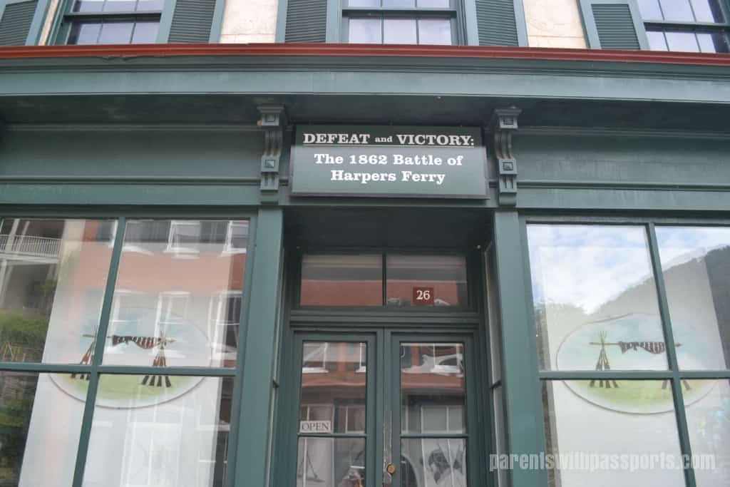
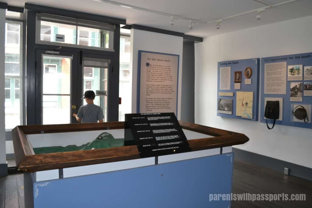
We stopped in a museum called “Defeat and Victory: The 1862 Battle of Harpers Ferry.” Located inside an historic building, it had a bit of an amateur feel to it. It looked almost like a collection of high school history projects (albeit very well done ones) . There were several informal museums like this throughout town, where you just walked inside an old building and looked at its various displays.
As we learned in the museum, the Battle of Harpers Ferry was a resounding win for the Confederacy in the Civil War, as Stonewall Jackson captured over 12,700 Union troops. The museum tries to turn this Union defeat around into a victory, claiming that the Battle of Harpers Ferry essentially distracted the Southern Confederacy and allowed the Union army to defeat the Confederacy on other fronts and ultimately win the war. It seemed like a bit of a stretch, and the museum’s own signs acknowledge that “few people recognize the role of Harpers Ferry in the ultimate Northern victory and Southern defeat.” They definitely get points for their effort in trying to spin the defeat into a victory.
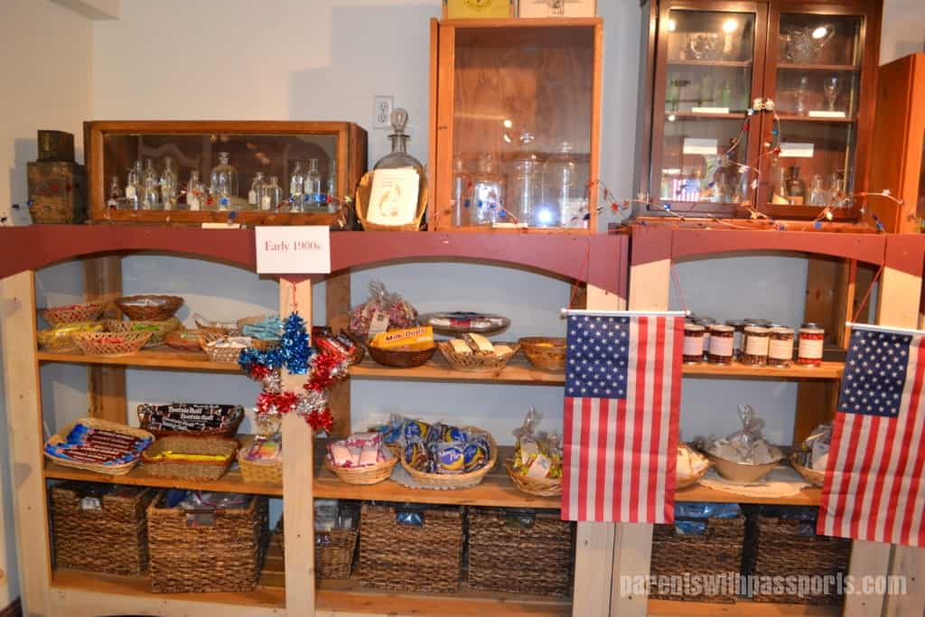
The boys enjoyed walking through the museum and seeing some of the Civil War era photos and period reproductions. But I will admit that they were more excited by another “museum” we found further up the street – a candy museum! The True Treats Historic Candy store is, according to their website, “the nation’s only research-based historic candy store specializing in candy from the first in history through the mid-1900s.” That is quite a mouthful and I tend to believe their overly specific claim. It was fun to walk through, although I found it disconcerting that the “historic” candy was for sale. I’m sure they were all current “retro” versions of old candy, but some definitely looked every bit of their age. But a fun store to browse through for sure! (And yes, we bought some candy. Chuckles (circa 1921) – I couldn’t resist.)
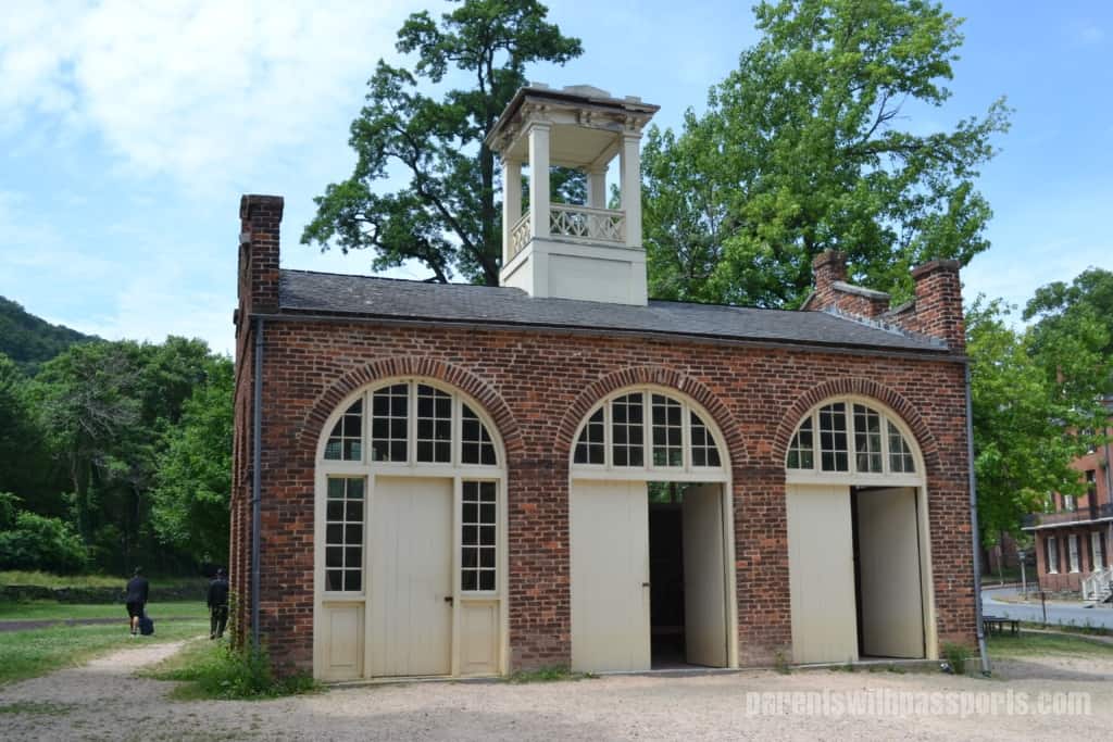
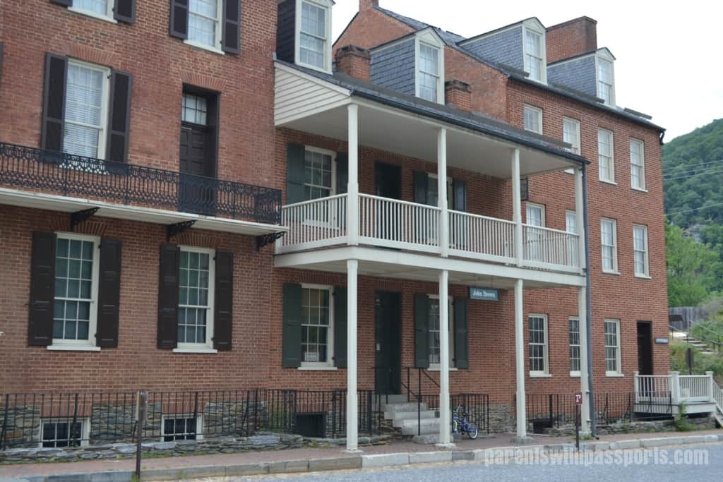
After stopping at a coffee shop to get some drinks and snacks, we headed back down High Street to Arsenal Square and John Brown’s Fort. Originally a fire engine and guard house, abolitionist John Brown hunkered down in this building on October 16, 1859 after his failed attempt to instigate a slave rebellion. Brown and his men were ultimately captured by General Robert E. Lee, and Brown was executed for treason and murder on December 2, 1859. When we stopped by, there was a woman dressed in period clothes inside the building, telling the story of John Brown’s Raid and answering questions. The John Brown Museum was also located across the street, and we walked through there as well.
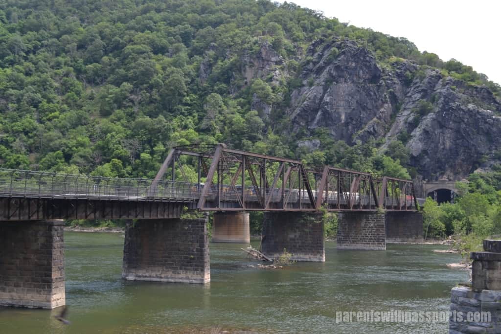
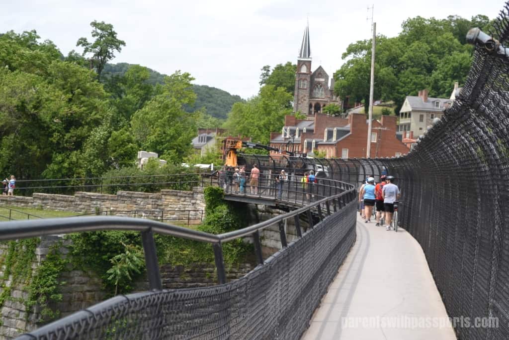
And finally, just past the fort we made it to The Point. This is where the Shenandoah and Potomac Rivers meet, and three states (WV, VA, and MD) can be seen from here. We arrived at The Point just as a train was emerging from the tunnel in the mountain, which was cool to see. A pedestrian walkway runs along the side of the railroad tracks and across the Potomac.
Walking across the bridge you cross from West Virginia into Maryland. The B&O Railroad Crossing takes you to the Chesapeake and Ohio Canal National Historical Park. In this park, a towpath trail follows along the Potomac River all the way from Washington DC to Cumberland MD. The section that crosses the river from Harpers Ferry overlaps briefly with the Appalachian Trail.
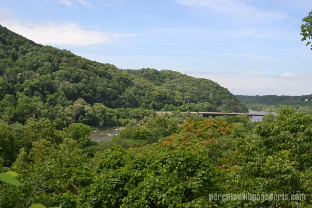
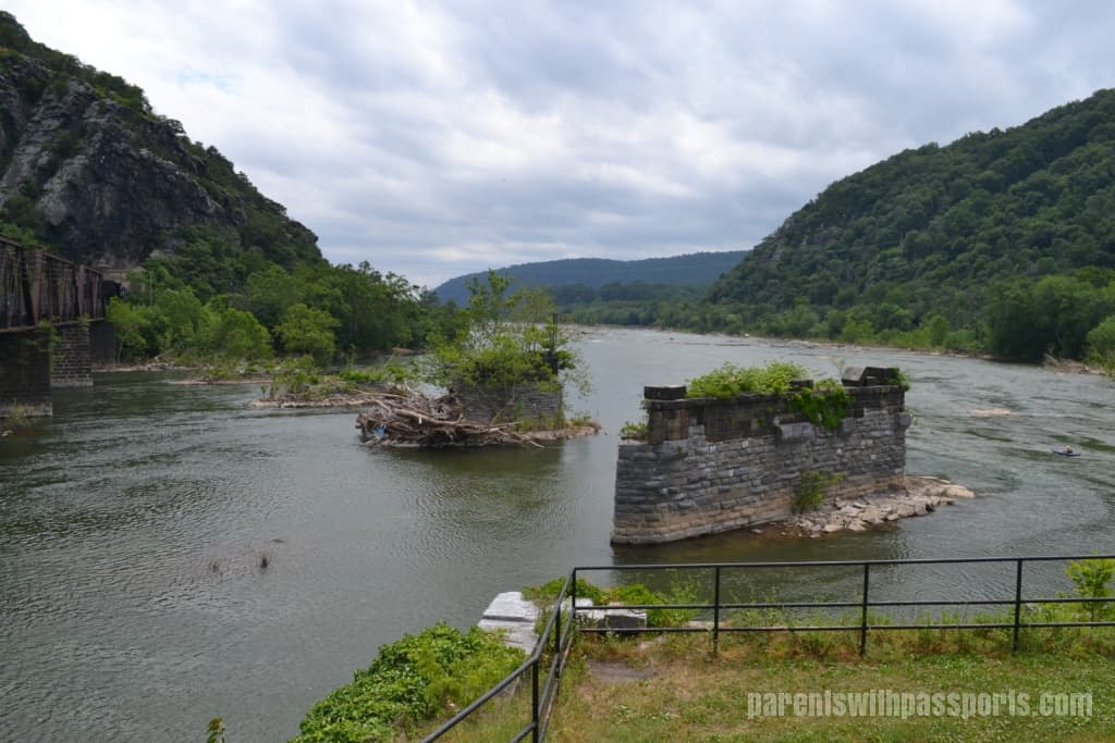
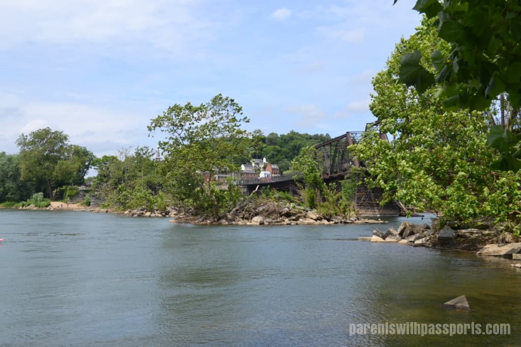
I have to admit that this area wasn’t as scenic as I expected. From Jefferson’s Rock, the confluence of rivers looked beautiful. From The Point, it looked a little worn down. Old footings from a previous bridge remain in the water, falling apart and overtaken by weeds. Debris lined the river banks and the shoreline was overgrown. And from ground level, the town doesn’t look nearly as impressive as it does from above.
I wish we had had time to do the Maryland Heights hike. This 6.2 mile loop trail on the Maryland side gives you the iconic view of Harpers Ferry across the river from above. But we had to hit the road so we saved the hike for next time. And there will be a next time! We really enjoyed our visit to Harpers Ferry and would love to go back when we can fully explore all of the outdoor activities it has to offer.
